資料名 |
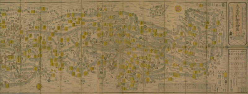
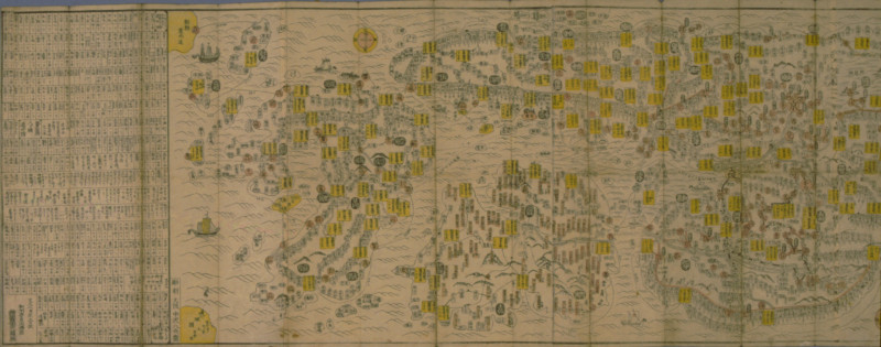
Detailed Illustrated Map of Greater Japan |
作者 |
Ezuya Syōhachi |
解説 |
This is a road map published in 1863. It indicates roads across the country, from Matsumae in Ezo (Hokkaido) to Kyushu. It details not only the major roads such as the Five Routes, but also the Konpira Pilgrimage route, Saikoku Pilgrimage route, and distance between inn towns along the routes. Ships and sea routes are also illustrated on the sea. The publisher, Ezuya Shōhachi, was a bookstore located in front of the Great Buddha Hall of Tōdai-ji Temple in Nara. Such road map served as a guidebook in the Edo period and was published in large quantities in the late Edo period, which suggests the popularity of travel at that time. First published in 1842, this map was popular and printed numerous times. |
資料番号 |
70303 |


